Live VATSIM tracking for pilots and aviation enthusiasts.
VatView is a free mobile app for iOS and Android that shows you live VATSIM traffic on an interactive map — pilots, ATC controllers, airports, events, and more.

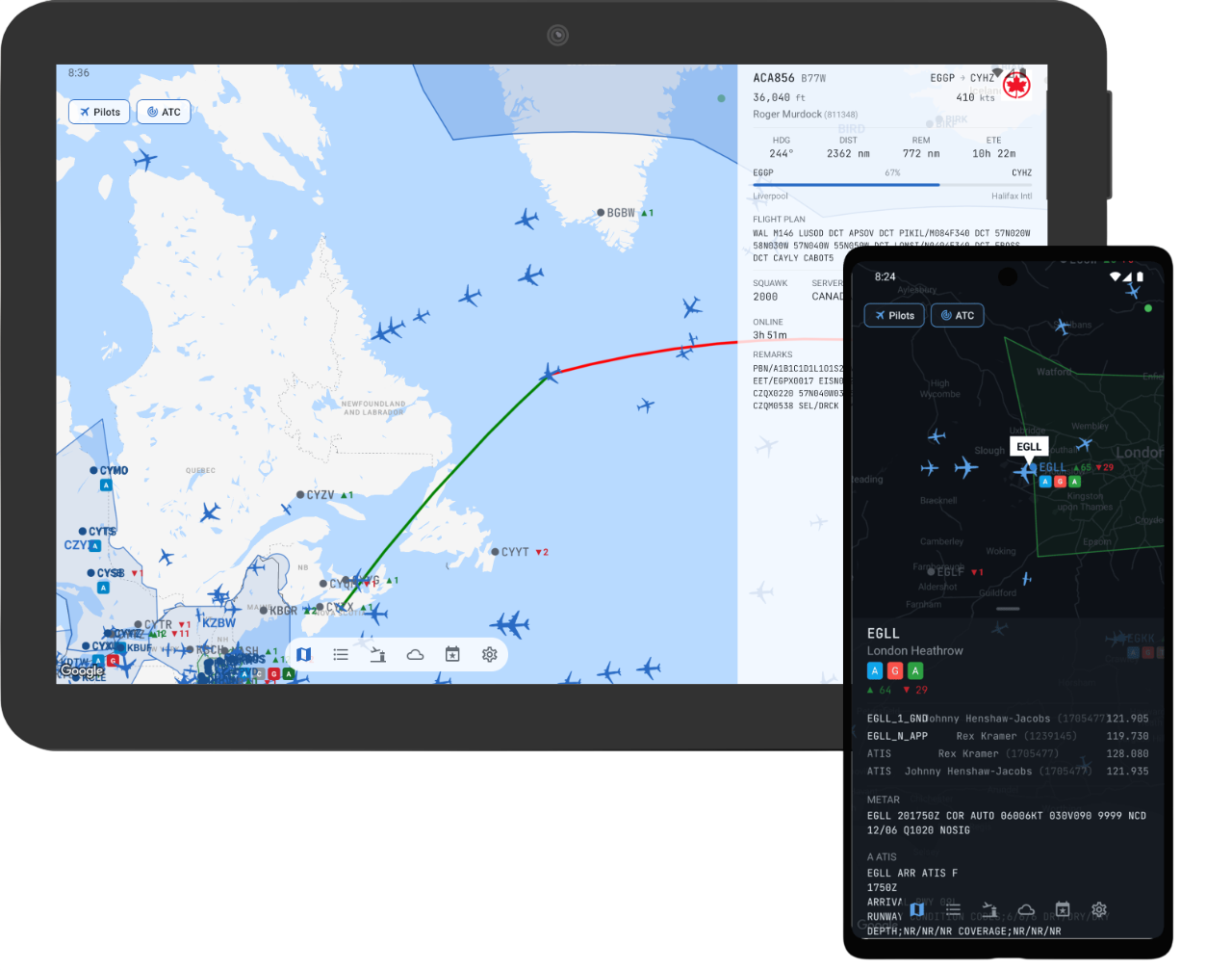
Features
- Live map — pilots and ATC updated every 20 seconds
- Track yourself and friends — enter your VATSIM CID and a friends list to highlight your flights and see friends’ markers in distinct colors
- Type-specific aircraft icons — 50+ aircraft types with accurate silhouettes
- Real airspace boundaries — FIR, UIR, and TRACON polygons
- Airport detail — staffed ATC positions and traffic count badges
- Progressive disclosure panels — tap any marker for full flight and ATC info
- Events and bookings — upcoming VATSIM events and ATC schedules
- METAR weather — search any airport for current weather
- Light and dark themes
- Landscape orientation support
What is VATSIM?
VATSIM (Virtual Air Traffic Simulation Network) is a free online platform where flight simulation enthusiasts fly and control air traffic together in real time. VatView lets you watch the network live — even if you’re not flying.
Source Available
VatView’s source code is publicly available on GitHub. Contributions are welcome — bug fixes, aircraft type mappings, and other improvements.
View on GitHub · Release Notes · Contributing